
A week ago I picked up some old photographs that are claimed to be of Army surveyors doing some plane table survey work on Fort Belvoir, Virginia.
The notations on the back of each photo gives each Soldier’s name and the date – November 1959. While the location is supposed to be Fort Belvoir there’s no written indication that is the actual location. However, having been assigned to Fort Belvoir a number of times I’ll say that the vegetation certainly has that ‘northern Virginia in the fall’ look about it, so I’ll accept the fact that we are looking at a location on or near Fort Belvoir.
Another clue is the Soldiers, and more specifically their uniforms. There’s no sleeve rank on any of their field jackets or shirts, indicating to me they are trainees attending advanced individual training at either the Engineer School or the Army Map Service school on Fort Belvoir. These are most likely young men – probably draftees – who are learning the trade of surveying after graduating from Army basic training. They simply haven’t been in the Army long enough to earn rank beyond that of Private.
Plane table surveying was once the primary method of developing detailed sketches and surveys of small areas. The geodetic and topographic surveys would establish he broad framework of survey control and elevation for large areas or regions. The plane table surveyors would follow behind filling in the details – roads, buildings, fence lines, monuments, prominent topology and geology, etc. Plane table work was a close meld of surveying and cartography, and plane table sketches done by talented surveyors are true works of art.
Alas, plane table surveying is also a lost art. It died off back in the 1980s with the introduction of electronic surveying systems – total stations – that can collect data much faster and much more accurately than a surveyor standing at a plane table. While the output of a total station lacks any sense of artistic composition, the data tends to be more accurate and precise.
But back to our young men. They had to have scored fairly high on their Army entrance tests to qualify for training as a surveyor, so this was a smart group of guys. Odds are they all had very good math skills.
My guess is these young fellows all did their two year military obligations, left the service and went on to enjoy life in the civilian world. A few probably went to college using the generous VA education benefits still in place in the 1950s, a few probably moved on to employment in blue collar jobs. Odds are none of them stuck with surveying in the civilian world – that’s just the way things went. However, I’m hoping that their exposure to surveying and mapping enticed at least one of them to pursue a civil engineering-related field once they left the service.
So let’s introduce our hale and hearty young surveyors!
 |
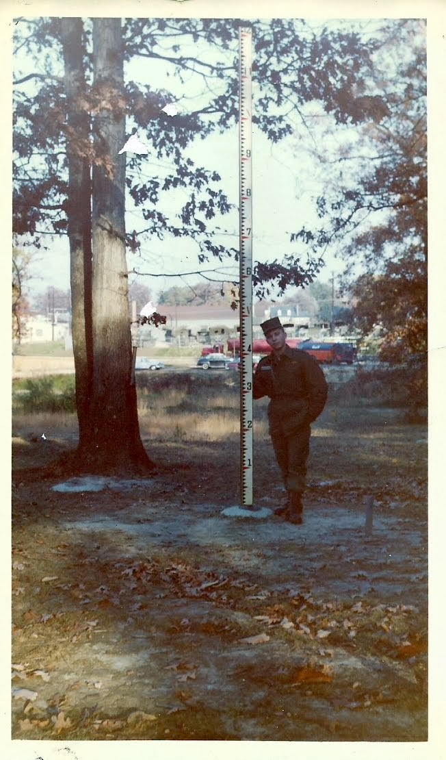
| Jim Heichel |
 |
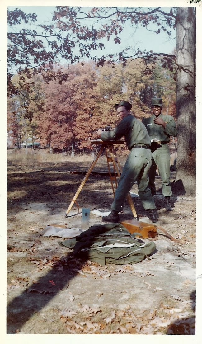
| Gustafson (no first name given) |
 |
| McNeely & Robinson (again, no first names) |
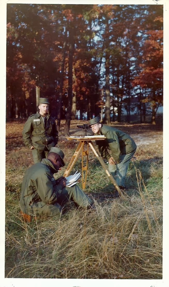 |
| Robinson (sitting, recording), Gustafson (left) and McNeeley (right) |
These fine fellows are all in their 70s now and hopefully are looking back on long, successful and happy lives. I hope they view their time in the Army with great fondness and the memories of the this beautiful fall day spent in the field learning plane table work brings a smile to their faces.
Brian
